
Pre-event design
Map the course, venues, medical posts, ingress/egress, and mutual aid. Decide what belongs on phones, what belongs on standalone trackers, and what stays in command.
Event Support
Marathons, parades, inaugurations, and multi-agency security operations. Flight Tactics deploys tracking, TAK, video, and integrations so command and field teams share the same picture.
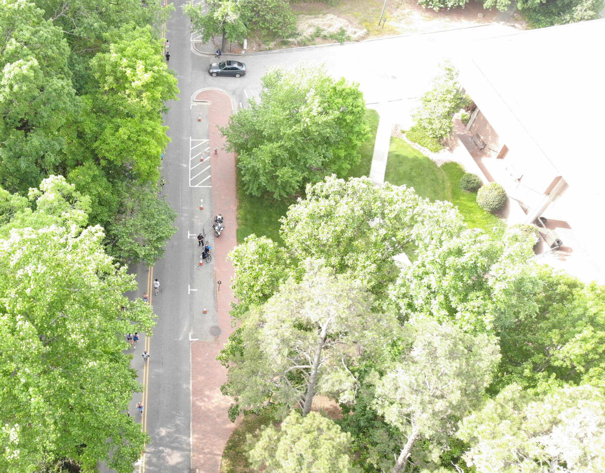
Built for the messy middle
Large events fail at the seams — between agencies, between radio nets, between the person on the bike and the person on the camera wall. We specialize in stitching those seams together without forcing a rip-and-replace.
Map the course, venues, medical posts, ingress/egress, and mutual aid. Decide what belongs on phones, what belongs on standalone trackers, and what stays in command.
Sentry LTE trackers for medical teams, security, sweepers, floats, vehicles, and equipment — centrally managed, with second-level updates and long battery life.
TAK servers, camera feeds, UAS/CUAS, dispatch, and partner data on one map. Teams keep the tools they already know.
Practitioners who have run these systems at city-scale events, not a help desk reading a script after the gates open.
New York, NY
Real-time visibility across 26.2 miles for medical teams, security, and sweeper operations — with camera feeds, UAS detection, and geo-referenced 911 calls on one map.
New Orleans, LA
Sentry tracked key floats and personnel with 24–36 hour battery life. Ground teams and command shared the same picture, with emergency alerting from float operators.
Texas
A tactical common operating picture in three days. Teams on Esri, SARTopo, and other platforms fed one integrated map without switching tools.
The earlier we are in the planning cycle, the cleaner the operating picture on game day.