
New York, NY
NYC Marathon
150+
standalone trackers
Real-time visibility across 26.2 miles for medical teams, security, and sweeper operations — with camera feeds, UAS detection, and geo-referenced 911 calls on one map.
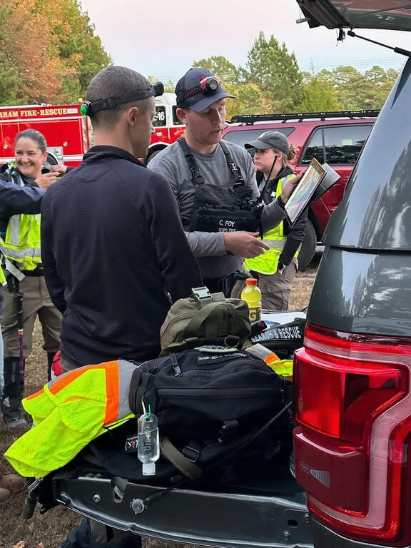
Intelligent operations for critical situations
Flight Tactics brings geospatial awareness, tracking, and TAK integration to public safety — from wilderness rescue to city-scale events. Built by practitioners who still work the same incidents they design for.
250,000+
iOS TAK downloads
1,400+
responders onboarded in 3 days
26.2
miles of marathon coverage
2020
founded by practitioners
Practitioners helping practitioners
Flight Tactics was founded after a wilderness search in the Smokies — no cell signal, radios that could not reach, paper maps, and a team boxed in on a ridge. The question that followed did not go away: why are people doing this work with these tools?
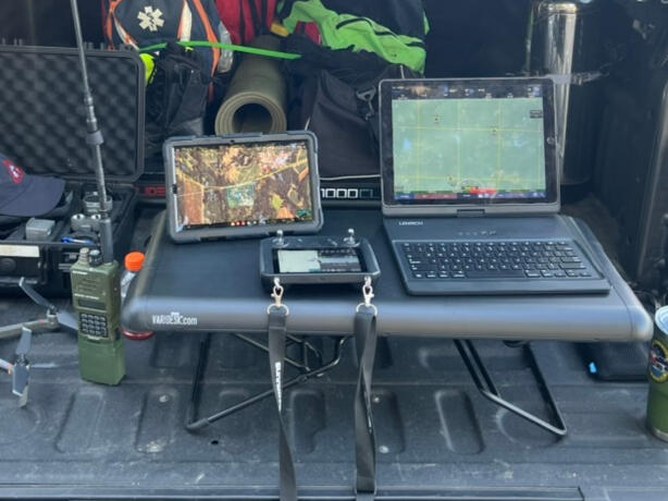
Today we deploy TAK, standalone trackers, drone feeds, and custom integrations for agencies that need one picture across many systems. We call it the AND Kit. It works with your tools, not instead of them.
Products
Platform
Software, hardware, and integrations that keep critical people and assets on one map.
Learn more →
iOS
Lightweight background tracking so your team always knows where you are.
Learn more →
iOS
A full iOS TAK client with modern design and ATAK-familiar workflows.
Learn more →In the field
New York, NY
150+
standalone trackers
Real-time visibility across 26.2 miles for medical teams, security, and sweeper operations — with camera feeds, UAS detection, and geo-referenced 911 calls on one map.
New Orleans, LA
2s
position updates
Sentry tracked key floats and personnel with 24–36 hour battery life. Ground teams and command shared the same picture, with emergency alerting from float operators.
Texas
1,400+
responders onboarded
A tactical common operating picture in three days. Teams on Esri, SARTopo, and other platforms fed one integrated map without switching tools.
Multiple locations
4 locations
with trackers deployed
Trackers deployed at multiple stadiums for situational awareness of vehicles and personnel.
Washington, D.C.
Multi-agency
high-security events
TAK coordinates federal, state, and local partners for critical events ensuring everyone operated from the a common picture.
Multiple locations
One
common operating picture
Trackers, vehicles, personnel and ADSB tracking one one map, enhanced with imagery and overlays.
The AND Kit
Most vendors want you to replace what you have. TAK functions as an integration platform — vehicle tracking, dispatch, drone feeds, camera networks, and partner agency data come onto one map that everyone can see.
Why 2026 matters
The FIFA World Cup spans 11 U.S. cities. July 4th marks America's 250th. The calendar does not slow down around either. For agencies that have not built a common operating picture yet, the window is short.
Tell us about your event, incident, or TAK rollout. We’ll help you assess where you are and what to deploy next.